Altitude App vs Height App: What Do You Want to Measure?
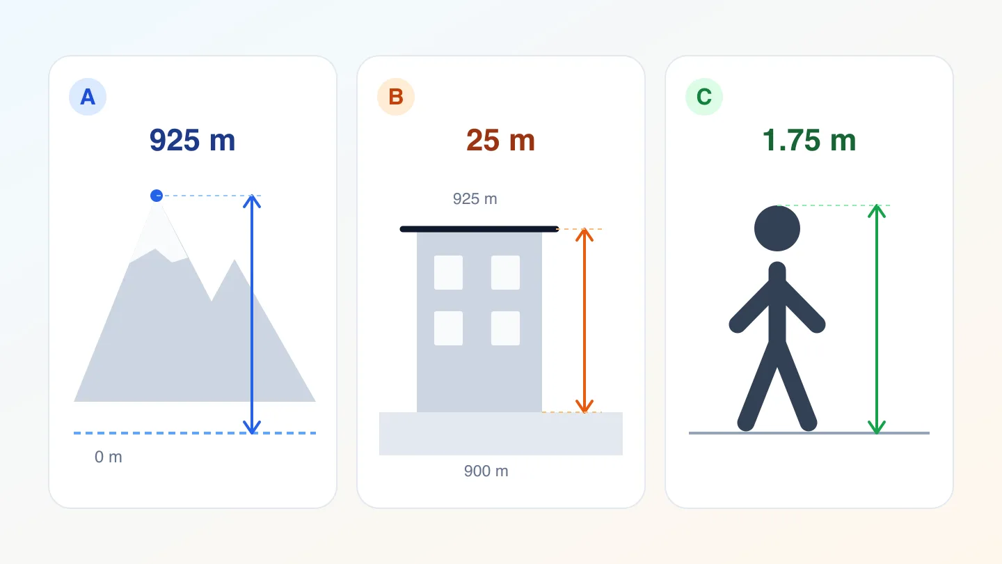
Choose an altitude app or height app by the measurement you need: elevation at your location, height above local ground, climbing change or an object's size.
Editorial Lab
Tips, guides, and stories from the road
Choose an altitude app or height app by the measurement you need: elevation at your location, height above local ground, climbing change or an object's size.
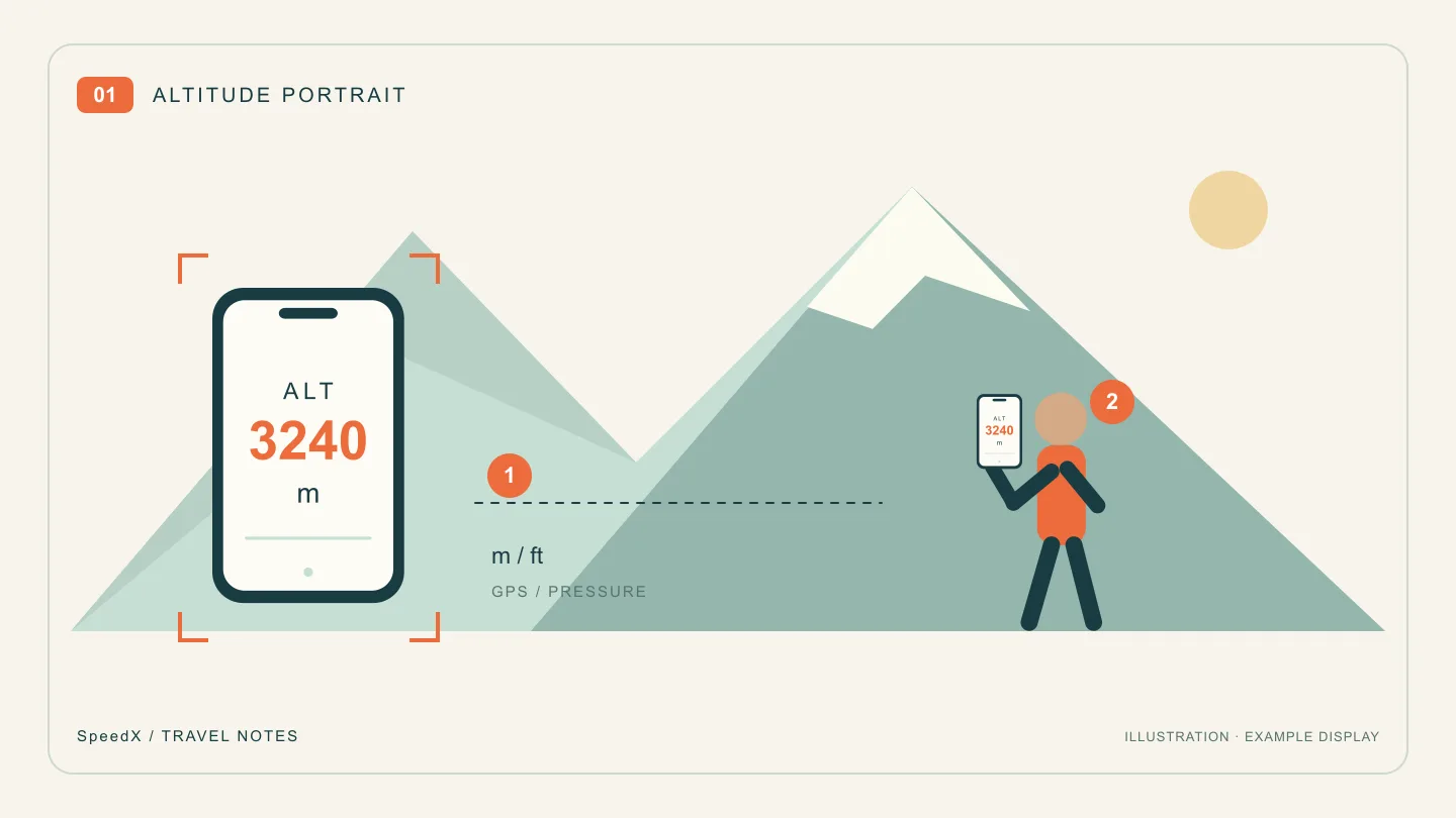
Take a mountain travel photo with your current altitude on a phone screen. Plan the pose, frame the view and keep the reading legible with SpeedX.
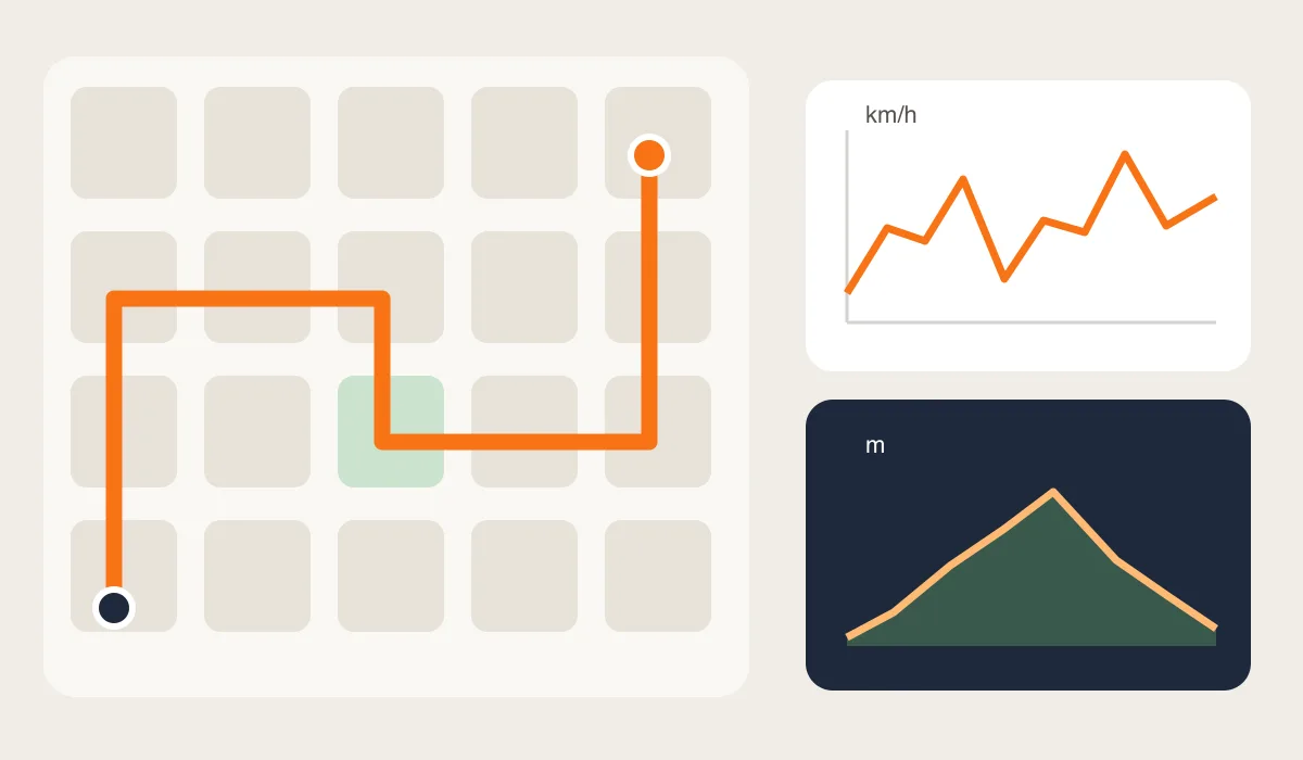
Turn an unplanned city walk into a useful record. Learn what a route, speed readings and elevation can tell you, and how to review a SpeedX trip afterward.
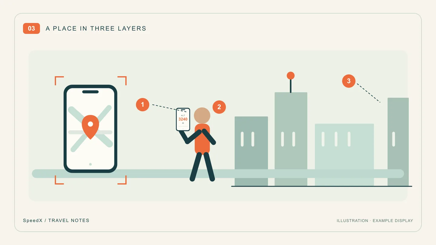
Make a sightseeing check-in photo more personal with a landmark, your current location and a readable phone screen, plus a simple three-shot plan.
Not sure what to do with your hands in travel photos? Try six phone-based poses for city streets, waterfronts and viewpoints, with simple framing cues.
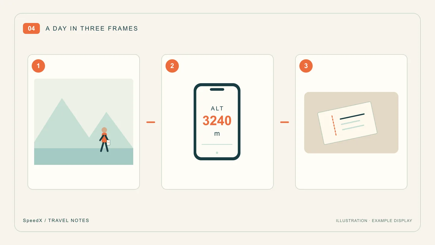
Turn a day trip into a short photo story with an establishing view, an altitude portrait and a telling detail. Includes a caption template to make your own.
Explore motion parallax on a train journey: why poles rush past, distant mountains linger, and the view alone cannot reveal your speed.
Understand why treadmill and watch distance or pace differ, compare the same units and time period, and check device-specific calibration instructions.
Calculate average and moving speed with a worked example and understand why pauses and recording settings change trip statistics.
Choose between SpeedX web tools and the iPhone app based on quick checks, available sensors, background use and trip recording needs.
Find out why GPS speed disappears in tunnels and buildings, why Wi-Fi location may not help, and how to check recovery outside.
Understand why dashboard and phone speed readings differ, how units and signal conditions affect comparisons, and when to investigate.
Learn what GPS speed needs without mobile data, why maps may not load, and how to check your phone before an offline trip.
Learn why stationary altitude readings drift, how pressure and GPS differ, and how to avoid mistaking noise for elevation gain.
Learn the key differences between true north and magnetic north, what magnetic declination is, and why understanding these distinctions matters for navigation, aviation, and outdoor adventures.
A visual tour of the SpeedX main interface — the all-in-one dashboard that puts real-time speed, altitude, compass, G-force, and GPS at your fingertips.
From sea level to the death zone — how different altitude ranges affect your body, your performance, and your safety in the mountains.
How SpeedX transforms your iPhone into a precision digital odometer for tracking distance, speed, and routes across any terrain.